Wednesday, 21 November 2012

ASPRS Student Assistantship Application Now Available


ASPRS Student Assistantship Program
Application deadline: January 28, 2013.
Student Assistants will be notified by February 8, 2013.

If you are a student at an accredited college or university, ASPRS invites you to attend and assist with the ASPRS 2013 Annual Conference March 23-28, 2013, in Baltimore, Maryland.

Please go to http://www.asprs.org/Conferences/Baltimore-2013/Presenters-Students/Volunteering to find complete information about benefits and requirements:

How to become a Student Assistant:
  • Submit a cover letter describing: your interest in ASPRS; if you are a member of ASPRS; what you hope to gain from this experience; your academic and professional experience in the geospatial field; the dates that you are available to serve as a Student Assistant at the conference. Note: Student Assistants are expected to arrive at the conference venue on Saturday, March 23 and remain on site available for work hours until the end of the program on Thursday, March 28. Once your work hours are assigned, you will not be allowed to arrive late or leave early, except for a documented emergency.
  • Include a resume with your mailing address, telephone number, and e-mail address where you can be contacted through March 2013.
  • Complete the application.
  • Send your application package via e-mail to the SA Program Coordinators (include ASPRS SA Program in the Subject Line of all e-mail messages).
Note: If any of the above are not included with your application package, then your application will not be considered.

Students who have never served as Student Assistants at a past ASPRS Conference will be given preference in the application review process. It is the aim of the Student Assistantship Program to give as many students as possible an opportunity to benefit from these awards.

SA Program Coordinators :
Rakesh Malhotra
Volunteer Coordinator
rmalhotr (at) uncfsu (dot) edu

Kim Tilley
ASPRS Associate Executive Director
kimt (at) asprs (dot) org

2013 National Society of Professional Surveyors (NSPS) Scholarship Program


Each year, through the National Society of Professional Surveyors (NSPS) Foundation, $25,000 in scholarships funded by a variety of individuals, companies, and organizations are made available to encour-age and support college education in geospatial sciences. These scholarships are a great opportunity for college students enrolled in surveying, mapping, geographic information systems, and geodetic science programs. The scholarships are awarded in four eligibility categories. The deadline for this year’s awards in March 15, 2013.

Contact Information: NSPS, 5119 Pegasus Court, Suite Q, Frederick, MD 21704; 240-439-4615; fax 240-439-4952; trisha (dot) milburn (at) nsps (dot) us (dot) com.


International LiDAR Mapping Forum (ILMF) 2013 Launches Conference Program

Conference programme launched
Three-day technical conference and exhibition focused on airborne and bathymetric LIDAR, with a particular emphasis on mobile mapping systems 

Innovative Conference
The highly acclaimed international conference offers an opportunity to learn about the latest advances in technology and hear about industry changes and developments first hand from industry experts. Find out more about data capture systems, data fusion/classification and processing techniques and the increasing integration of key technologies. Listen to case studies highlighting actual experiences and lessons learnt. 

International Exhibition
Running alongside the conference is an exhibition of 70 system and component manufacturers, operators and service companies expected to demonstrate new LIDAR products and a wide range of new technologies and services. Exhibitors include airborne, terrestrial and bathymetric LIDAR, and complementary sensor manufacturers, survey service companies, data processing, GIS and management specialists and the latest mobile mapping vehicles. 

Basics to LIDAR
Delegates are able to attend Basics to LIDAR workshops, aimed at providing novice operators, their managers and potential purchasers of equipment with an understanding of the basic principles and fundamental benefits and technology associated with LIDAR. 

Mobile Mapping Vehicles
Mobile mapping vehicles will be parked directly outside the front of the centre providing easy access for all visitors wishing to view the latest technological developments in mobile mapping. 

ASPRS Hot Topics
The American Society for Photogrammetry and Remote Sensing (ASPRS) will be presenting a 'hot topics' session. The first session will reveal plans for the development of software to validate file compliance of LAS files. The Mobile Laser Scanning committee will provide a preview of recent activity to develop best practices and accuracy assessment methodologies for non-airborne kinematic laser scanning. Finally the Airborne Laser Scanning committee will present recent activities in airborne kinematic laser scanning for broad area and corridor mapping. 

Early Bird Booking Rate
To take advantage of the Early Bird Booking Rate, please register by December 3, 2012. 


Tuesday, 13 November 2012

2013 NASA DEVELOP Internship Opportunities


Click on the image below for details on the 2013 NASA DEVELOP internship opportunities:


Friday, 9 November 2012

ASPRS 2013 GeoLeague Challenge


Attention ASPRS faculty and students,

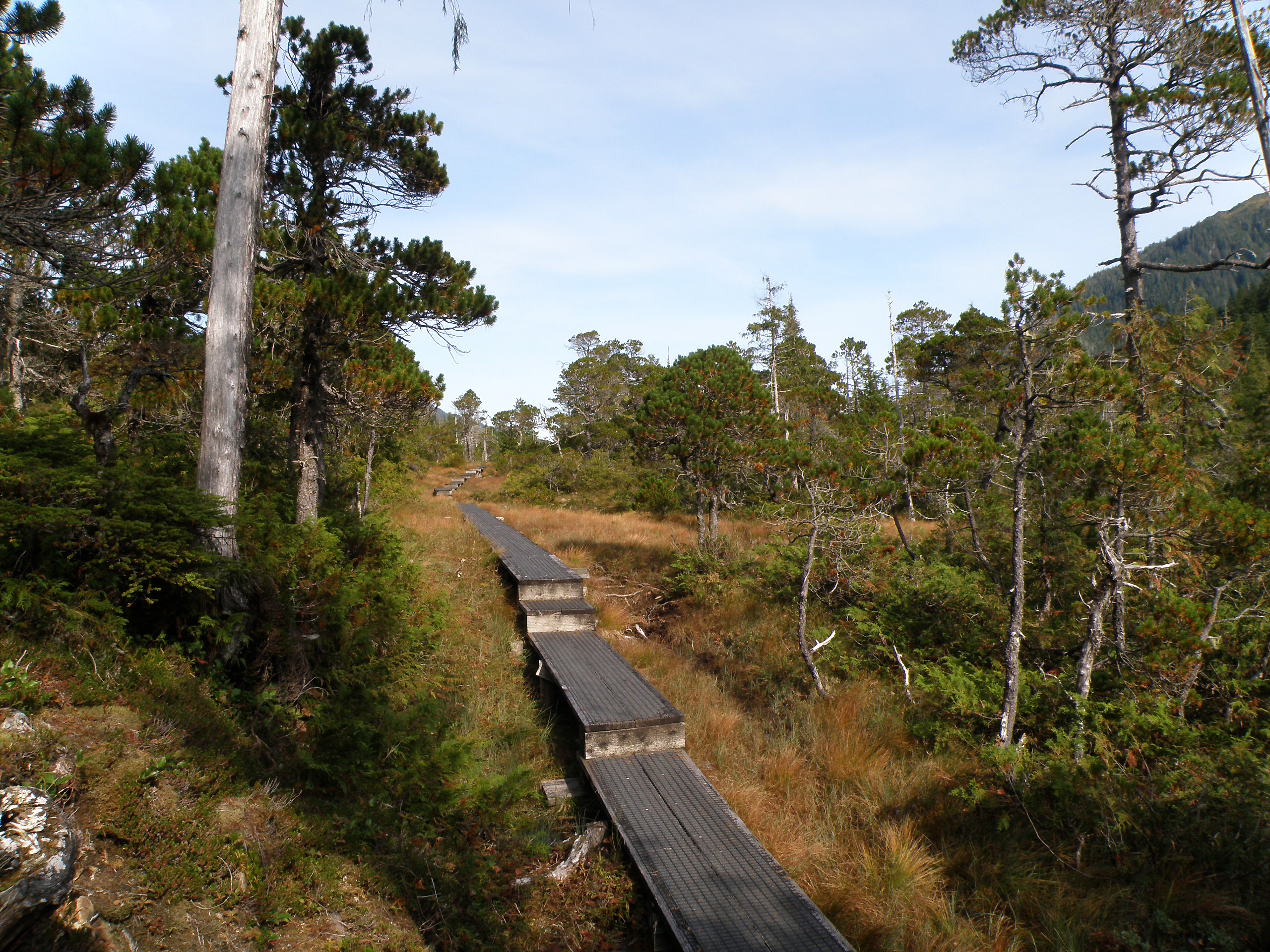
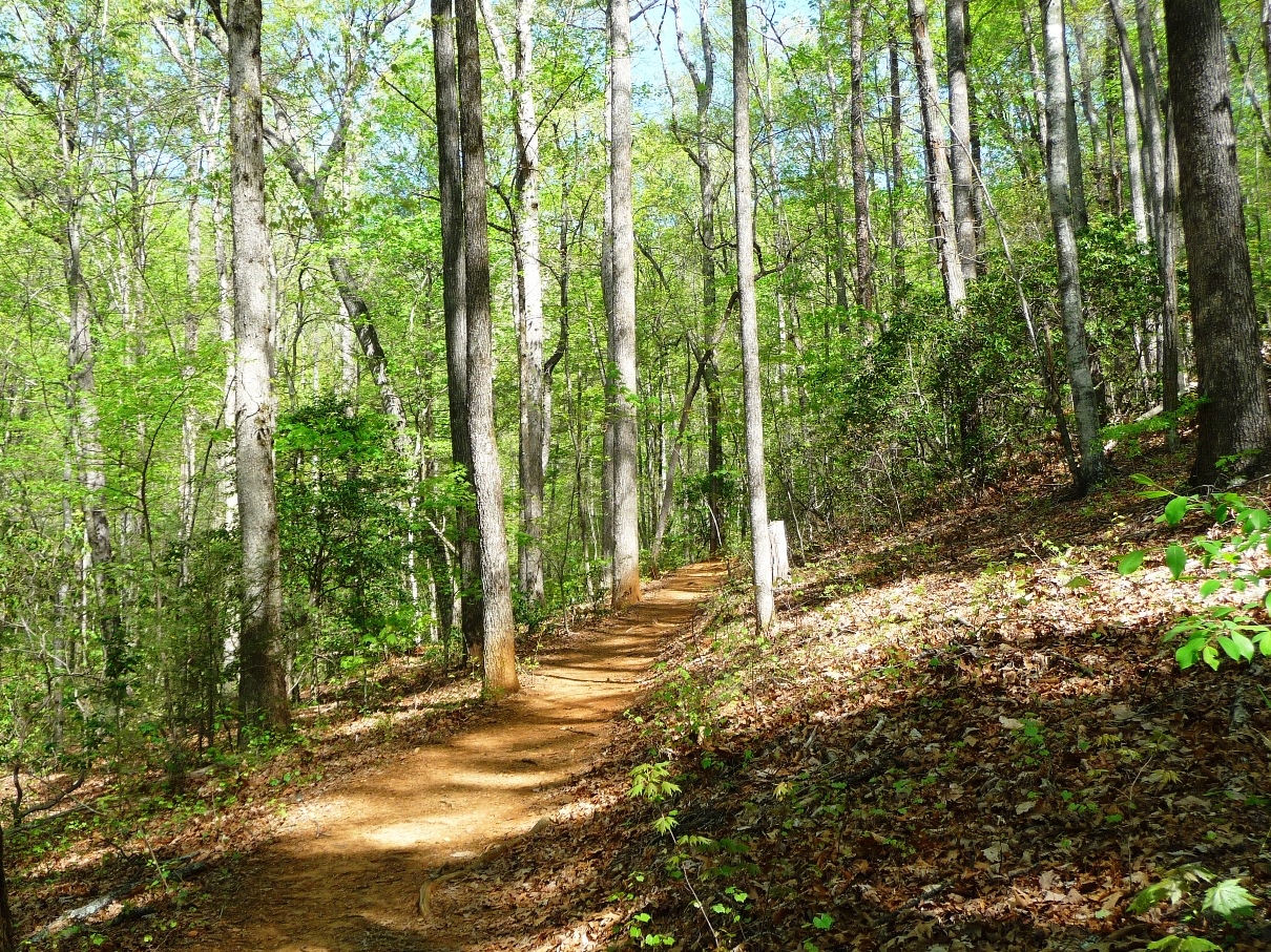
The third annual ASPRS GeoLeague challenge is to be held at the ASPRS 2013 annual conference in Baltimore, Maryland on March 24-28, 2013. The title is: "Designing & Mapping Trails for the Boy Scouts of America: Mapping Algorithm Development & Visualization."


The deadline to register is November 30, 2012.

Get your ASPRS student chapter involved or form a group of five ASPRS student members at your institution to compete for prizes.

The challenge has been changed somewhat, so please check the complete details regarding the challenge assignment available on line at http://www.asprs.org/Students/GeoLeague-Challenge-2013.html

The challenge is:
•     Make a recommendation to the BSA Philmont Ranch Trail Development Committee (BSA PRTDC) on the development of a new multi-purpose recreation trail. The trail design specifics are located in Section 5. The specifics of the trail development algorithm are to be described in detail in the methodology section of the project report. The tool must be submitted upon request for use by BSA PRTDC as they intend to use this tool at BSA properties across the country.
•     Create a map and a detailed visualization framework for trail mapping in the Philmont Ranch study area. The map must be capable of visualizing the trail conditions based on environmental, aesthetic, safety, and practical factors.
•     When resampling layers or rasterizing vector layers, attention must be paid to desired trail widths.


How to Participate:
Form a group of at least 5 undergraduate and/or graduate students and a faculty advisor in your region (at least 3 students must be ASPRS student members by the registration deadline and remain student members through the Annual Conference). If you have trouble meeting this requirement, please feel free to contact us.  You may also enlist the help of ASPRS members in your surrounding communities. However, the students must do all of the work; non-students can only provide guidance!

To be eligible to participate, please fill out a registration form and return it to Patrick Adda, ASPRS Student Advisory Council Deputy Chair, padda (at) unb (dot) ca.

For questions, contact:
Patrick Adda
ASPRS Student Advisory Council Deputy Chair
padda (at) unb (dot) ca

All of the final challenge materials must be submitted by 8pm EST on February 25th, 2013.


Tuesday, 6 November 2012

The 2012 GIS Day is on Wed, Nov 14


Did you know that Wed, Nov 14 is the 2012 GIS Day? To learn more about this celebration of GIS check the following website: http://www.gisday.com/. Also, if your department or organization is planning a get together for this event, you can "map it out" here, so that more people can find out about it. Two examples of that would be the events scheduled by the University of Florida in Gainesville, and the City of Fort Lauderdale.


ASPRS - MultiTemp 2013: Our Dynamic Environment - CALL FOR ABSTRACTS


 MultiTemp 2013: Our Dynamic Environment

The Banff Centre, Banff, Alberta, Canada
June 25, 26, 27, 2013


7th International Workshop on the Analysis of Multi-temporal Remote Sensing Images
First Call for Abstracts
Submissions open 1 January

The assembly and analysis of remotely sensed data in a time series represents one of the most powerful and challenging elements of our discipline. The development of new sensors, satellite missions, analytical procedures, and dissemination strategies will help propel our capacity to understand and monitor our dynamic environment across large domains of scale.

The Seventh International Conference and Workshop on the Analysis of Multi‐temporal Remote Sensing Images (MultiTemp‐2013) will be held in Banff Alberta, set in the beautiful and majestic Canadian Rocky Mountains. The event will build on the successes from our previous international workshops in this series and will assess the state‐of‐the‐art in the analysis of multi‐temporal remote sensing images and other geospatial datasets. The workshop will have oral and interactive poster presentations dealing with both the theoretical and applied issues surrounding the use of multiband hyper‐temporal information in support of the sustainable management and monitoring of the Earth’s dynamic environment.

Please see the Multi‐Temp 2013 web site: http://geog.ucalgary.ca/multitemp2013


MultiTemp 2013 is soliciting papers in the following topic areas:
• Multitemporal image analysis techniques
• Classification of multitemporal data
• Data mining and analysis of remote sensing time series
• Change detection methods
• Change detection validation and accuracy assessment
• Multitemporal SAR and InSAR data analysis
• Multitemporal LiDAR data analysis
• Fusion of multitemporal data
• Image registration, calibration and correction techniques
• Land‐cover and land‐use monitoring
• Phenology product development and monitoring applications
• Sea‐ice dynamics and cryospheric monitoring and modeling
• Water and ecosystem resources monitoring and modeling
• Environmental reclamation monitoring and modeling
• Drought monitoring and predictive modeling
• Vegetation dynamics and productivity
• Forestry and agriculture monitoring; stress and damage assessment
• Novel applications of multitemporal remote sensing time series

Contributions are welcome from all sectors dealing with innovation and the practical use and applications of multitemporal imagery and datasets. The workshop will include papers accepted for either oral or interactive poster presentation. Only presented papers will appear in the workshop proceedings. The proceedings of the workshop will be published by IEEE and made available on‐line on the IEEE Xplore Digital Library. A special issue of a major international journal is also planned; details will be announced on the MultiTemp 2013 website.

Prospective contributors are invited to submit an abstract at the dedicated MultiTemp‐2013 website. Abstract Submission will be available at http://geog.ucalgary.ca/multitemp2013/content/submissions starting 1 January 2013.

Important Dates
• January 1, 2013 – abstract submissions begin; conference registration opens
• February 15, 2013 – deadline for abstract submission
• March 15, 2013 – notification of acceptance for oral and poster presentations
• March 31, 2013 – authors’ registration deadline
• May 31, 2013 – ‘early bird’ registration deadline
• June 25‐27, 2013 – MultiTemp 2013 (opening reception: evening of June 24)

Please mark your calendars and plan to join us in Canada for this special biennial event. For delegates and families wishing to extend their visit, there are also numerous travel and vacation opportunities in the Rocky Mountains that make this a prime international travel destination.

Details on this and more are posted at the Multi‐Temp 2013 web site: http://geog.ucalgary.ca/multitemp2013

Hosted by the University of Calgary.

For general inquiries, please contact multitem (at) ucalgary (dot) ca


Monday, 5 November 2012

The Future of Surveying — Gloom or Boom?


In an effort to help foster individual writing skills essential for successful future in the surveying, geomatics, and geodesy professions, this student essay scholarship/contest is being presented by Professional Surveyor Magazine (PSM) of Frederick MD.

There will be two cash scholarship/prizes of $500 each to two runners up, and a grand prize of a new GNSS R10 rover (provided by Trimble navigation) to the winning essay. The contest is open to qualifying students in the U.S. and Canada. Winning entries will appear in print issues of PSM in 2013. PSM editorial staff  will choose ten finalists, and a guest panel of surveying professionals and educators will choose the three winning entries.

Please see this link for eligibility, rules and entry procedures:

http://www.profsurv.com/studentessay.aspx

Entries must be received by email by December 15th, 2012. Feel free to contact me with any questions (but send entries to the email in the link above).

Gavin Schrock, PLS
Associate Editor
Professional Surveyor Magazine
gavin (at) profsurv (dot) com
www.profsurv.com